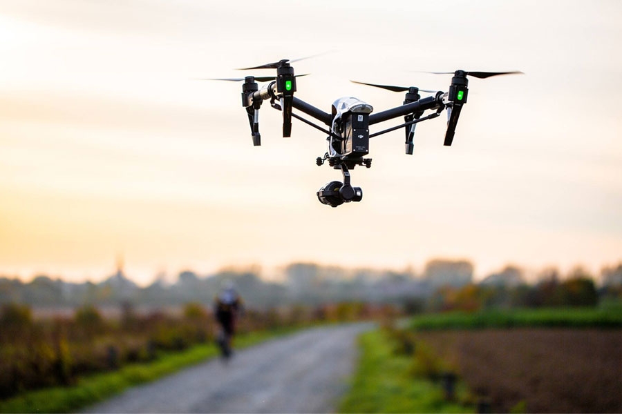
Drone Mapping Capabilities
Improve Site Operations
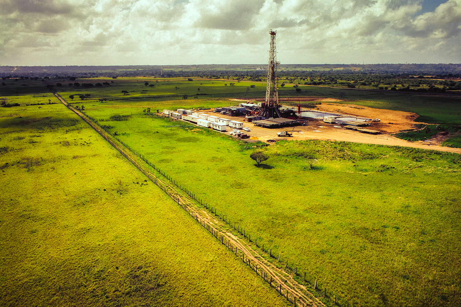
Monitor operations across downstream, midstream, & upstream in O&G Industry or wherever an environmental issue arises.
Identify Environmental Risk Efficiently
Manage safety and maintenance issues faster while complying with government rules & regulations. We can quickly identify issues on-site and share visual evidence with operators using real time accuracy.
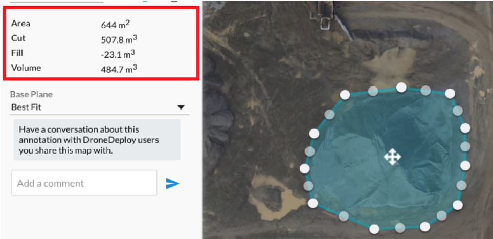
Innovate with Scaled Data
Get a better view of operations on a whole new Level and Stay aware of operations status using visual documentation with high resolution maps, reports, and 3D models, as well as real-time 2D Live Maps for immediate analysis.
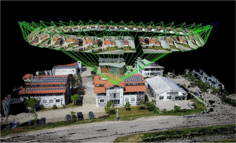
Process Maps Fast
Quickly process images into detailed maps and 3D models and build customized reports to fit operator’s needs.
Collaborative Insights
100% transparency that shares maps with operators and tools to put insights into action and keeping you ahead of the curve.